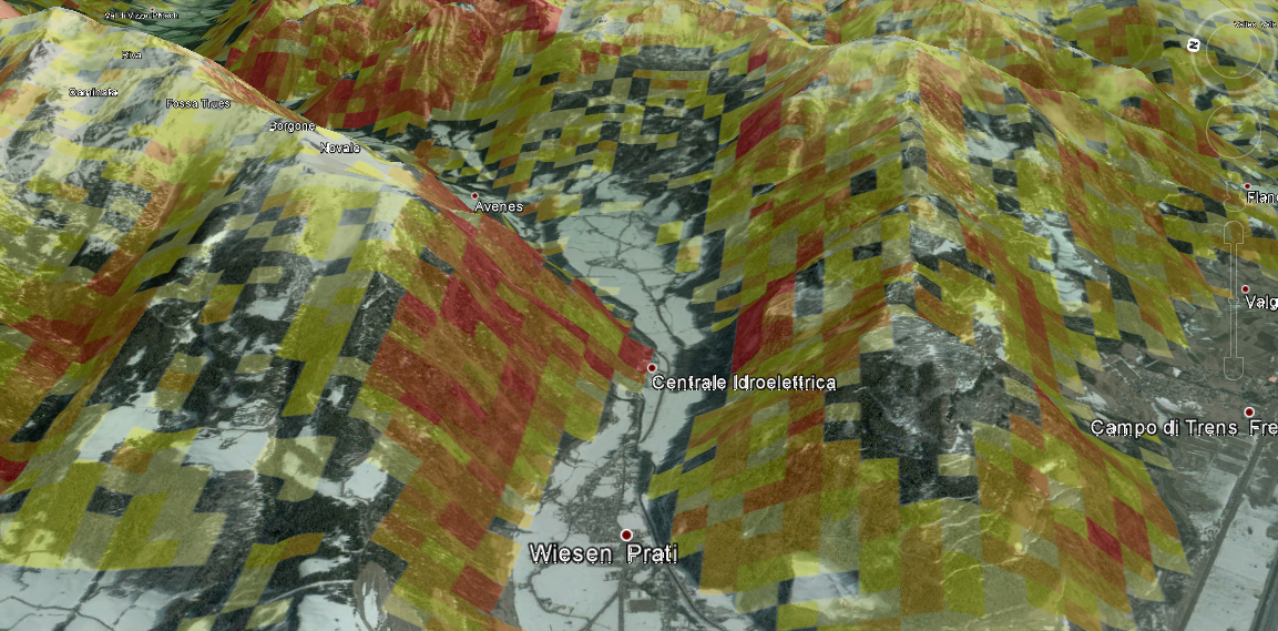
I'd like to share code that uses spatial R and Google Earth for terrain analyses. In this example I took SRTM data at 1" resolution from
http://www.viewfinderpanoramas.org/dem3.html#alps read it into R did a little processing and finally wrapped it up in a KML-file that I use as ground-overlay in Google Earth. In fact I eventually converted it into a sqlitedb with
MAPC2MAPC for usage on a mobile device.
See the code
here on github..